Web map
URL: http://druid.hutton.ac.uk/arcgis/services/NAR/RBGE_Epiphyte_Diversity_CC_Risk/MapServer/WmsServer?
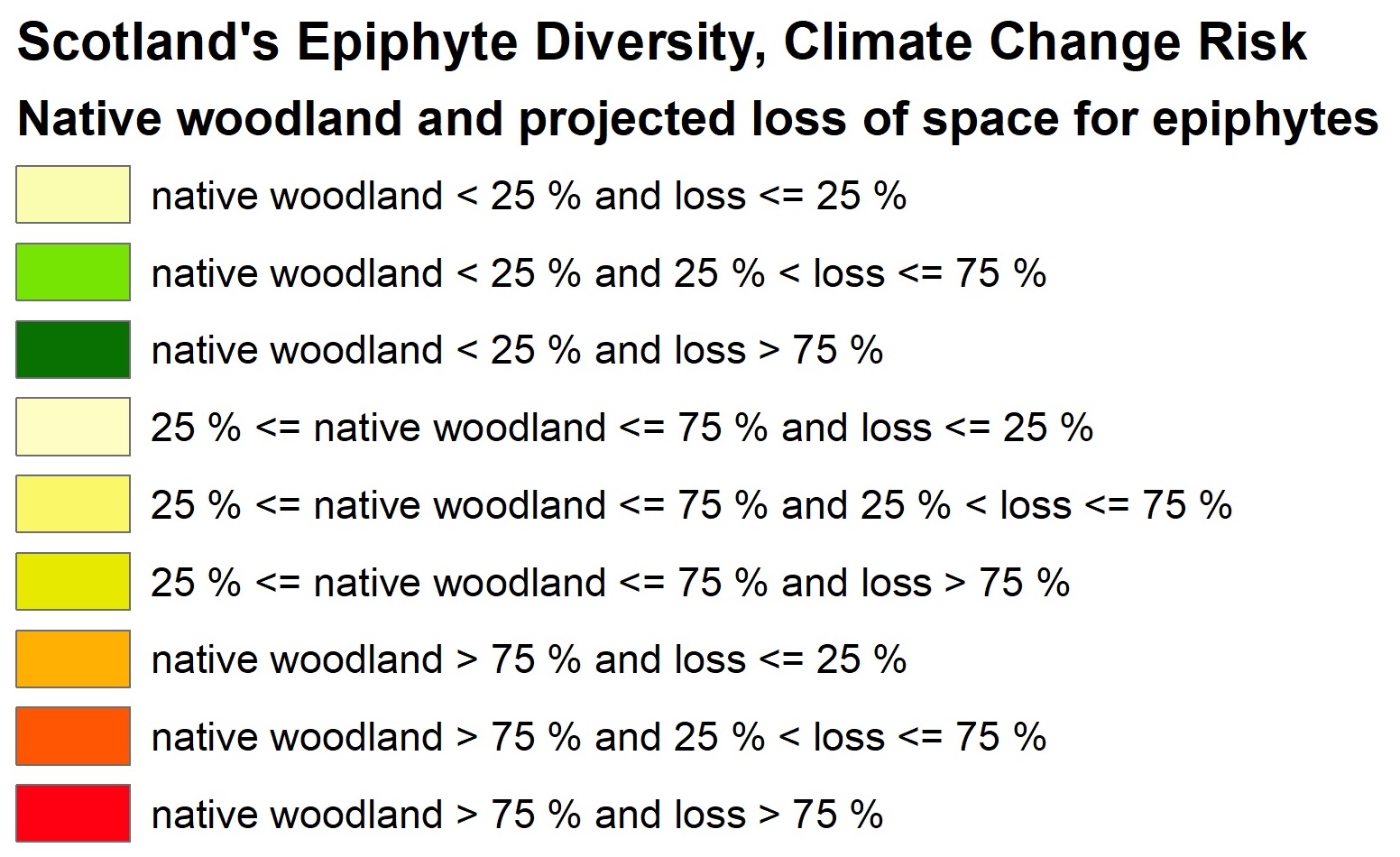
The purpose of this map is to provide information relevant to spatial planning for improved woodland condition, and/or for increased woodland extent/connectivity. Landscapes with high diversity, high climate change exposure, but vulnerability in terms of woodland habitat availability, can be identified and targeted for action.
ข้อมูลเพิ่มเติม
| ฟิลด์ | ค่า |
|---|---|
| Data last updated | 7 มกราคม ค.ศ. 2020 |
| Metadata last updated | 7 มกราคม ค.ศ. 2020 |
| สร้างแล้ว | 7 มกราคม ค.ศ. 2020 |
| รูปแบบ | WMS |
| สัญญาอนุญาต | Other (Open) |
| Has views | True |
| Id | 383d439b-f694-4a40-8843-2531ec42bc43 |
| Package id | f0051167-402f-4ade-8487-53f97dfee7e1 |
| State | active |